Precision Design.
Built on Digital Intelligence.
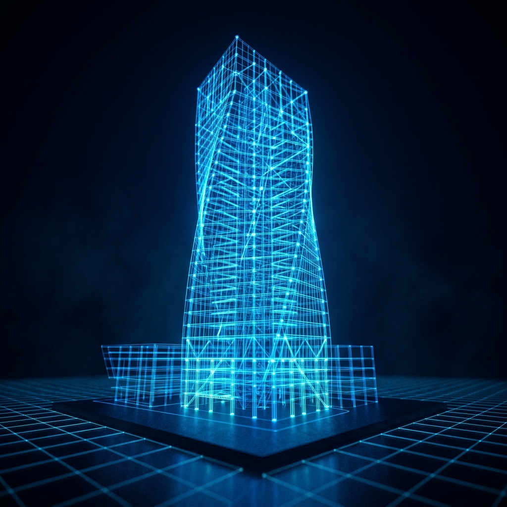
Teraform delivers advanced BIM modeling, Civil 3D infrastructure design, reinforcement drafting, and GIS-integrated engineering solutions — engineered for absolute accuracy and built for scale.
LOD 400 Standards
Ready for Fabrication
Clash Detection
0 Critical Warnings
GIS-BIM Linked
Real-World Context
Our Core Services
From complex reinforcement drawings to GIS-to-BIM integrations, we combine architectural intent with structural engineering logic.

Reinforcement Drawings
Detailed rebar layouts, bending schedules, and structural detailing compliant with ACI, BS, and IS standards for zero-error site implementation.

Building Information Modeling (BIM)
Full lifecycle LOD 300 to 500 BIM execution plans using Revit and Navisworks. High-fidelity architectural, structural, and MEP model synchronization.

Civil 3D Site & Infrastructure Design
Comprehensive grading, volumetric corridor modeling, utility layouts, and drainage profiles designed inside AutoCAD Civil 3D.

Geometry Design & Modeling
Computational and parametric design modeling, turning highly architectural facades and custom curves into optimized, cost-efficient structural members.

GIS-BIM Systems Integration
Geospatial data maps compiled alongside structural models, enabling real-world context analysis and site logistics inside a federated platform.

How We Deliver Excellence
A structured, technology-driven workflow that transforms your project vision into precise, code-compliant digital deliverables — every time.
Project Analysis
We review your schematics, structural briefs, and design intent documents to map out precision deliverable scope.
Digital Modeling
Our engineers build high-fidelity BIM and Civil 3D models using LOD-specific standards and global design codes.
Clash & QA Review
Federated models are tested in Navisworks for zero-conflict coordination. QA reports are issued for every model submission.
Delivery & Support
Native project files, PDF sheets, and IFC exports delivered within agreed timelines. Revisions handled within 24 hours.
Multi-Platform Delivery
Native files in Revit, Civil 3D, Navisworks, Tekla, or ArcGIS — matching your exact workflow configuration.
Global Code Compliance
All drawings verified against ACI, Eurocodes (EN), British Standards (BS), and local geotechnical checklists.
24-Hour Revisions
Zero clash guarantee and rapid revision turnaround keeps your construction schedules running on time.
Global Project Experience
Serving engineering firms and contractors across South Asia, the Middle East, Europe, and North America.
Frequently Asked Questions
Got technical queries about our coordinates, design codes, or file handovers? Explore our answers below.
Partner With Our Engineers
Submit your project details or design schematics. Our technical lead will review your submission and reply with a formal contract proposal within 24 hours.
General Queries
info@teraform.co.in